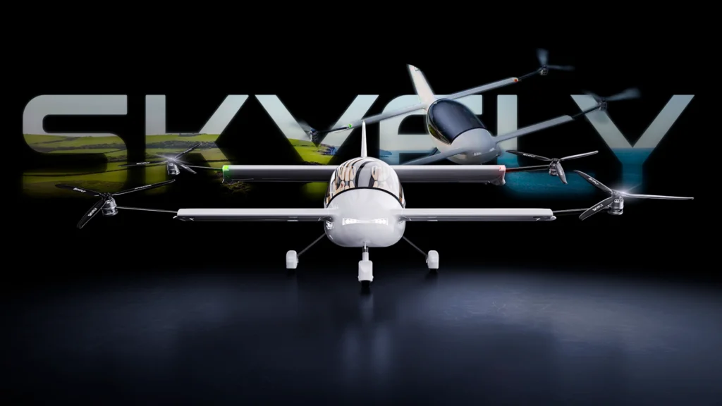
The CAA has approved Skyfly’s Axe VCA, a manned aircraft powered by Veronte Autopilot, to perform flight transitions.

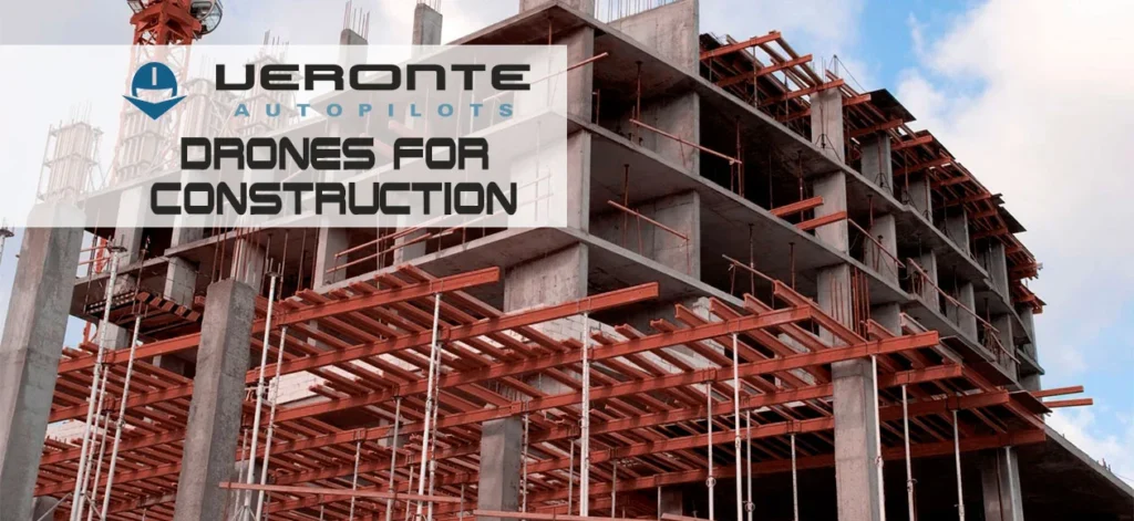
Nowadays, being in line with new technologies is paramount in any industry; therefore, the use of drones on construction sites is acquiring increased transcendence. Initially, the regulation of the sector did slow down the growth of this technology applied to construction fields, but as happened with robotics employed in manufacturing, this technology will end up being normally implanted.
In order to reduce costs by up to 25%% and production times by up to 10 times, it is recommended the use of drones on construction, helping the execution of civil works. Through the employment of necessary control systems and software, it provides support to the periodic collection of data. Enabling the control and monitoring of the construction progress.
Drones make it possible to get from the air the necessary information to design roads, pathways, bridges, and other civil engineering constructions. Otherwise, the use of manned airplanes is needed, requiring spending more time and resources, obtaining less accurate information and images, being less abundant, and having poorer quality than those obtained with the use of drones. We must either not forget about the reduction of occupational hazards and the reduction of pollutant emissions that are obtained with the use of construction drones.
In the future, one of the potential applications of construction drones would be the building of skyscrapers with heights hitherto unknown and in locations where today could not be done. These would be possible through the combination of drones with the use of the new building materials and computer building models, BIM (Building Information Models).
In conclusion, we should note that there are several professional solutions that enable the use of drones in construction. Veronte Autopilot 1x is a high-precision avionics system that provides the necessary capabilities to any kind of drone to treat topographical data from LIDAR sensors, multispectral cameras, vision cameras, etc.
Receive news & updates
The CAA has approved Skyfly’s Axe VCA, a manned aircraft powered by Veronte Autopilot, to perform flight transitions.
Embention has obtained ISO 27001 certification, reinforcing its commitment to privacy and information security standards.
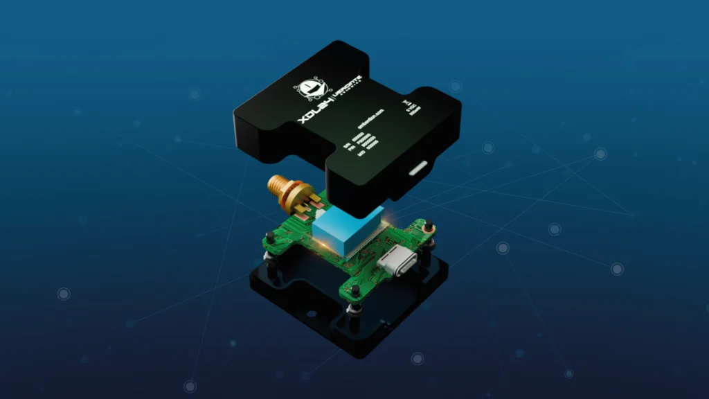
Embention has released the XDL24 Datalink based on XBee 3, the first miniaturized Digi module with IP68 waterproofing, setting a new standard for datalink durability and performance. What is the XDL24? XDL24 is a robust datalink based on XBee 3, a state-of-the-art digital communication module. XDL24 provides secure data transmission with a robust enclosure. It […]